Community Beach Monitoring Program
Shellharbour City Council is implementing a community beach monitoring program to help us closely map our changing coastline, and we need YOUR help.
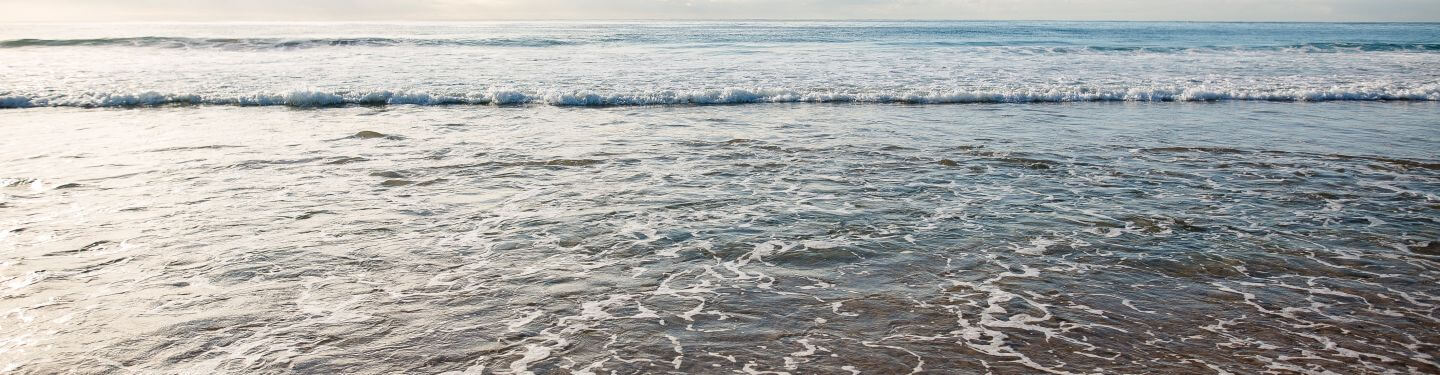
When you visit chosen beaches in Shellharbour you can join thousands of others, from coastal communities nationally that are using this citizen science program, CoastSnap, to measure how our local beaches erode and recover over time due to changing ocean conditions.
Participating is easy! Take these 3 easy steps:
1. Locate 1 of our 4 stations
2. Place your phone in the cradle and snap a photo
3. Scan the QR code onsite and upload! It's that simple!
Your snap will be added to a community database of photos and used by Council for monitoring. Learn more in the informative video below-
CoastSnap
CoastSnap is a citizen science platform for beach monitoring, which relies on crowd-sourced imagery to be collected and submitted by community members. It is a low-cost beach monitoring technology that turns personal smart phones into powerful coastal monitoring devices. At any given time of any given day, somebody somewhere is taking a photo with their phone of a beach and uploading it to the internet.
The aim of CoastSnap is to harness this incredible amount of information into something that can be used by Council, to understand how coastlines change through time – whether it be naturally, due to rising sea levels, extreme storms or coastal management activities. Ultimately, this information can be used to improve the way the Shellharbour coastline is managed into the future.
CoastSnap Station Locations
Each year we provide bi-annual CoastSnap reports that help monitor the changing coastline at each station. By taking a photo from designated CoastSnap stations, you can contribute to valuable data on beach erosion, sand movement, and the effects of storms. Your snapshots provide essential insights into the health of our beaches and help guide coastal management decisions to protect these natural assets for future generations. Head out to one of our 4 CoastSnap locations, view them below:
Gadhu Beach (Shell Cove Southern Breakwall)
Gadhu Beach CoastSnap Site is located on the Shell Cove Southern Breakwall.

View each bi-annual report below:
- January 2023 to June 2023
- July 2023 to December 2023
- January 2024 to June 2024
- July 2024 to December 2024 will be made available at the end of the bi-annual period.
Windang Island
The Windang Island CoastSnap site is situated at the western end of the headland, near the island's coastal foliage. From this spot, you'll have Warilla Beach to your left and Lake Illawarra to your right

View each bi-annual report below:
- January 2023 to June 2023
- July 2023 to December 2023
- January 2024 to June 2024
- July 2024 to December 2024 will be made available at the end of the bi-annual period.
Shellharbour North Beach
The Shellharbour North Beach CoastSnap site is situated on the southern side of the beach.

View each bi-annual report below:
- January 2023 to June 2023
- January 2024 to June 2024
- July 2024 to December 2024 will be made available at the end of the bi-annual period.
Warilla Beach (Off Bucknell Street staircase)
The Warilla Beach CoastSnap site is situated on the off the Bucknell Street staircase.

*As this is a new location, there are no Bi-annual reports currently available.